Picture 1 of 3


Picture 1 of 3
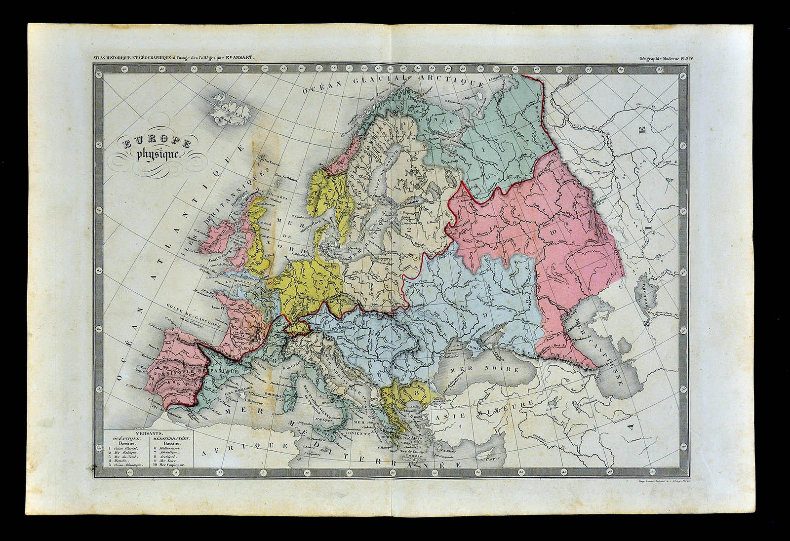
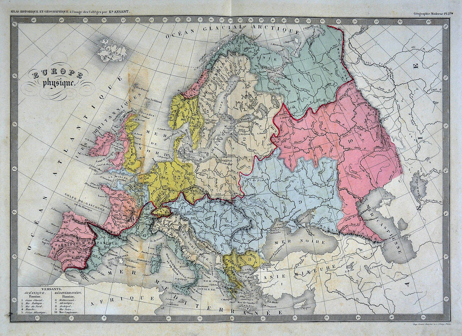

c 1860 Ansart Map Physical Europe Continental Divide River Basins Alps Pyrenees

US $31.99
ApproximatelyPHP 1,779.99
or Best Offer
Was US $39.99 (20% off)
Condition:
“Good, on an 11 1/2 by 17 inch page (29x43cm), see the pics and description below”
Sale ends in: 1h 45m
Postage:
US $4.99 (approx PHP 277.65) USPS Ground Advantage®.
Located in: Fairview, Pennsylvania, United States
Delivery:
Estimated between Thu, 26 Sep and Sat, 28 Sep to 43230
Returns:
30 days return. Seller pays for return shipping.
Coverage:
Read item description or contact seller for details. See all detailsSee all details on coverage
(Not eligible for eBay purchase protection programmes)
Seller assumes all responsibility for this listing.
eBay item number:404994631625
Item specifics
- Seller Notes
- “Good, on an 11 1/2 by 17 inch page (29x43cm), see the pics and description below”
- Type
- Physical Map
- Region
- Europe
- Year
- 1860
- Topic
- Physics
- Publication Year
- 1860
- Original/Reproduction
- Antique Original
- Date Range
- 1800-1899
- Format
- Atlas Map
- Cartographer/Publisher
- Felix Ansart
- Country/Region
- Belgium, Cyprus, Denmark, England, Estonia, Finland, France, Germany, Greece, Holland, Italy, Malta, Netherlands, Norway, Poland, Portugal, Spain, Sweden, Ukraine, United Kingdom
- City
- Paris
Item description from the seller

Seller feedback (19,553)
- a***d (74)- Feedback left by buyer.Past monthVerified purchasePositive in all aspects
- a***a (684)- Feedback left by buyer.Past monthVerified purchaseItem as described, carefully and well packed, great ebay experience! Thank you very much!
- s***s (1220)- Feedback left by buyer.Past monthVerified purchasePerfect