Picture 1 of 6


Gallery
Picture 1 of 6
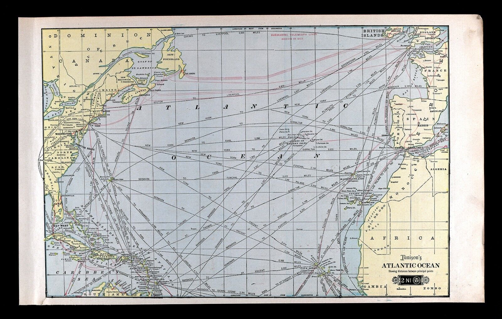
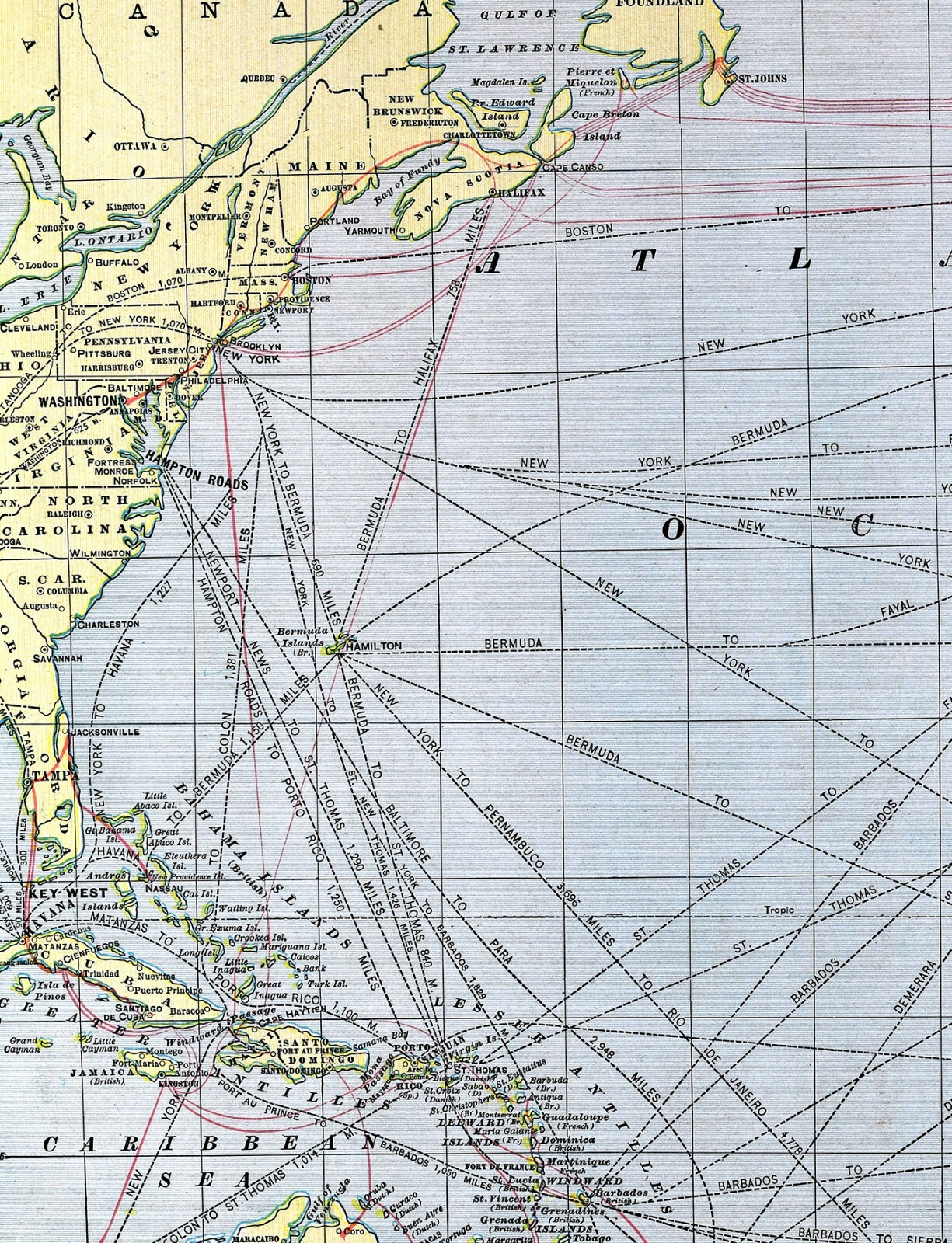


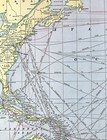
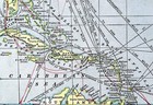
1901 Tunison World Map Atlantic Ocean Distances Telegraphs America Europe Africa
US $35.00
ApproximatelyPHP 1,949.85
Condition:
“Good to Very Good condition for its age. The image area measures approximately 13 by 20 inches ”... Read moreabout condition
Oops! Looks like we're having trouble connecting to our server.
Refresh your browser window to try again.
Shipping:
US $4.99 (approx PHP 277.99) USPS Ground Advantage®.
Located in: Fairview, Pennsylvania, United States
Delivery:
Estimated between Sat, 7 Jun and Sat, 14 Jun to 94104
Returns:
30 days return. Seller pays for return shipping.
Coverage:
Read item description or contact seller for details. See all detailsSee all details on coverage
(Not eligible for eBay purchase protection programmes)
Seller assumes all responsibility for this listing.
eBay item number:365490628259
Item specifics
- Seller Notes
- Map View
- World
- Cartographer/Publisher
- Tunison
- Original/Reproduction
- Antique Original
- Format
- Atlas Map
- Type
- Nautical Map
- Year
- 1901
- Date Range
- 1900-1909
Item description from the seller

Seller feedback (19,863)
- m***e (389)- Feedback left by buyer.Past monthVerified purchaseExcellent seller!
- l***k (545)- Feedback left by buyer.Past monthVerified purchaseA+++++Seller!!! Very responsive and quick to fix any issues that may occur, Highly recommend!!!
- a***c (507)- Feedback left by buyer.Past monthVerified purchaseas advertised