
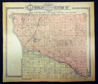
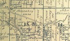
1910 Plat Map Wesley & East Custer Township Will County Illinois Ritchey
US $28.50US $28.50
May 05, 03:09May 05, 03:09
Picture 1 of 7


Gallery
Picture 1 of 7

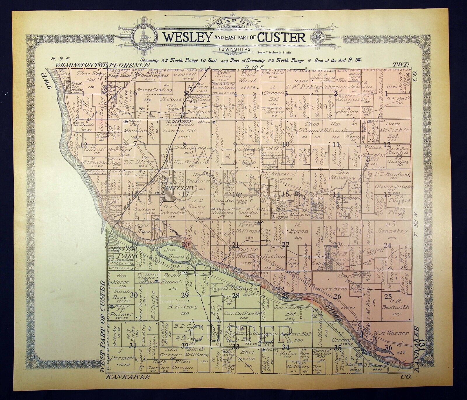

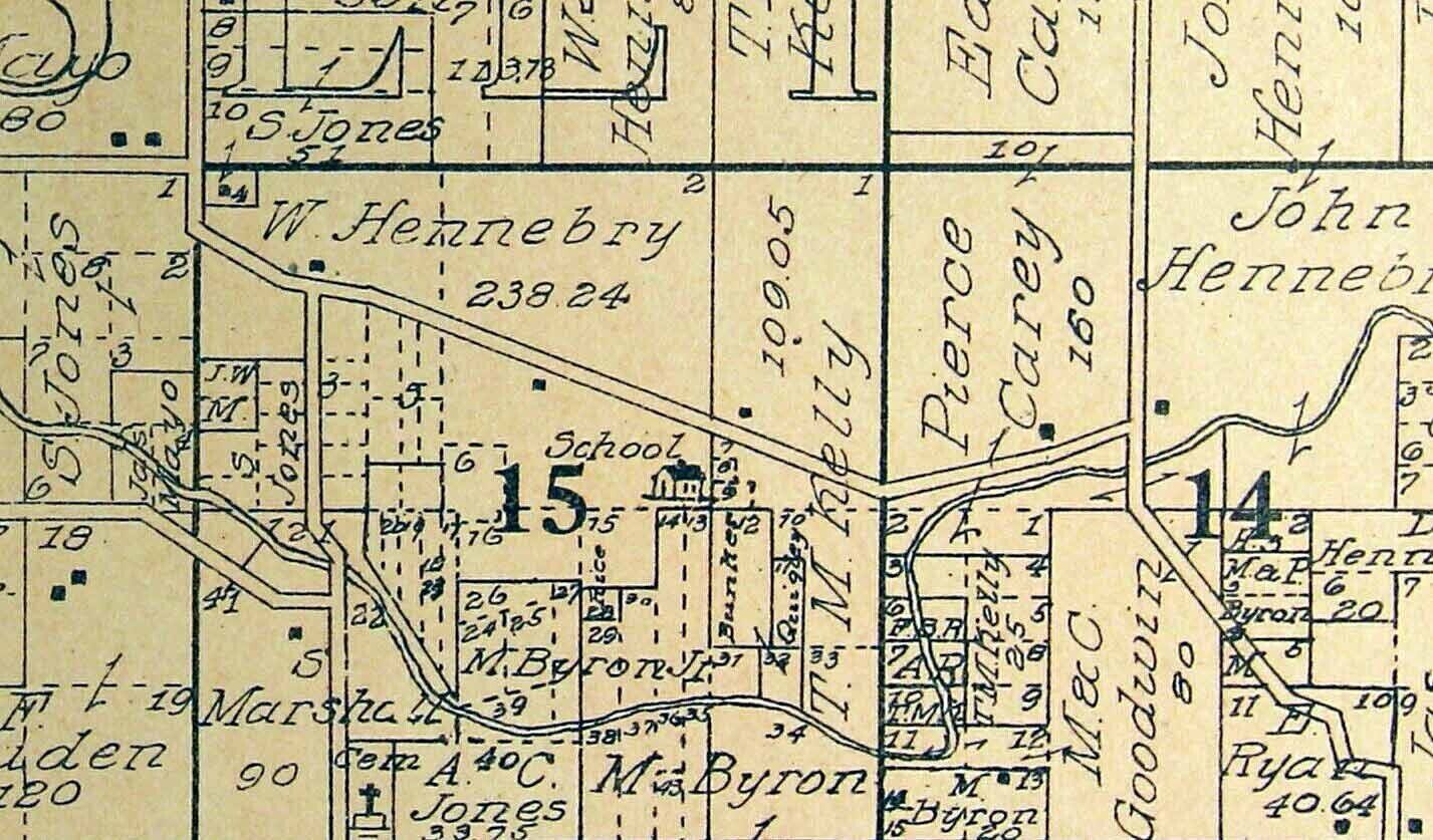


1910 Plat Map Wesley & East Custer Township Will County Illinois Ritchey
US $28.50
ApproximatelyPHP 1,587.74
or Best Offer
Condition:
“Very good condition (see photos).”
Oops! Looks like we're having trouble connecting to our server.
Refresh your browser window to try again.
Pickup:
Free local pickup from Corunna, Michigan, United States.
Shipping:
US $6.55 (approx PHP 364.90) USPS Ground Advantage®.
Located in: Corunna, Michigan, United States
Delivery:
Estimated between Fri, 6 Jun and Thu, 12 Jun to 94104
Returns:
30 days return. Seller pays for return shipping.
Coverage:
Read item description or contact seller for details. See all detailsSee all details on coverage
(Not eligible for eBay purchase protection programmes)
Seller assumes all responsibility for this listing.
eBay item number:364824738570
Item specifics
- Seller Notes
- “Very good condition (see photos).”
- Date Range
- 1910-1919
- Type
- Plat Map
- Format
- Atlas Map
- US State
- Illinois
- Printing Technique
- Engraving
- Year
- 1910
- Original/Reproduction
- Antique Original
- Cartographer/Publisher
- Geo. A. Ogle & Co.
- Country/Region
- United States of America
Item description from the seller

Seller feedback (10,029)
This item (1)
All items (10,029)
- b***r (26)- Feedback left by buyer.Past monthVerified purchaseAs described perfectly, very happy with item!
- s***y (1861)- Feedback left by buyer.Past monthVerified purchaseThank you for the wonderful plat map. Good packaging. Great Seller. A+++++
- b***d (3707)- Feedback left by buyer.Past monthVerified purchaseReceived safe and sound. Thanks for a smooth transaction.
- l***v (2898)- Feedback left by buyer.Past monthVerified purchaseGreat seller - prompt, safe mailing, nice item thank you!