Picture 1 of 9


Gallery
Picture 1 of 9


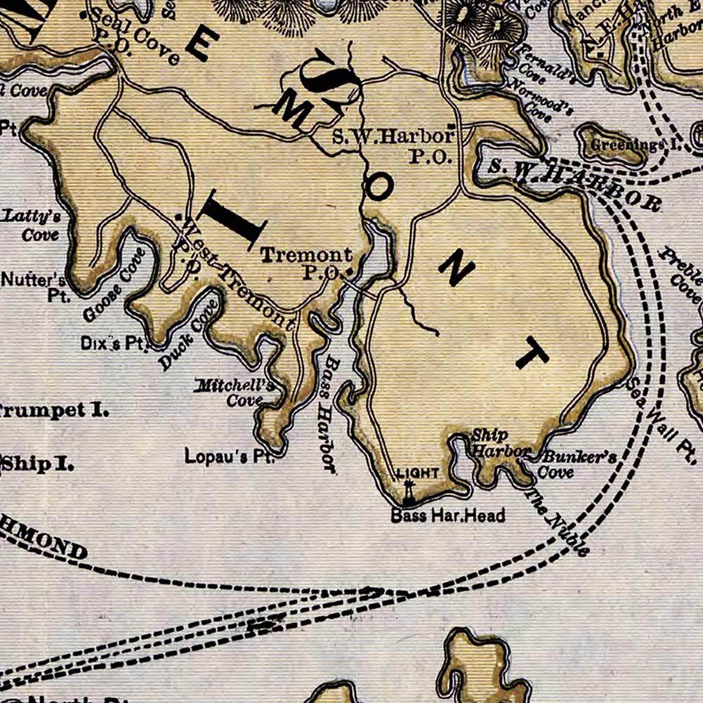


BIG Mount Desert Island & Atlantic coastal MAINE USA MAP Chart circa 1900 24x36

US $24.97
ApproximatelyPHP 1,391.83
Condition:
New
A brand-new, unused, unopened, undamaged item. See the seller's listing for full details.
More than 10 available4 sold
Oops! Looks like we're having trouble connecting to our server.
Refresh your browser window to try again.
Shipping:
Free USPS First Class®.
Located in: Merritt Island, Florida, United States
Delivery:
Estimated between Fri, 13 Jun and Fri, 20 Jun
Returns:
30 days return. Seller pays for return shipping.
Coverage:
Read item description or contact seller for details. See all detailsSee all details on coverage
(Not eligible for eBay purchase protection programmes)
Seller assumes all responsibility for this listing.
eBay item number:231830463610
Item specifics
- Condition
- New: A brand-new, unused, unopened, undamaged item. See the seller's listing for full details. See all condition definitionsopens in a new window or tab
- Original/Reproduction
- Reproduction
- Subject
- Map
- Style
- Vintage
- Size
- 24" x 36" (610mm x 915mm)
- Date of Creation
- 2000-Now
- Artist
- Rand Avery, Supply Co.
- Process
- Giclée
- Substrate
- Satin PolyPro (Water & Tear Resistant)
- Sized for Standard Frame?
- Yes
- Type
- Print
Item description from the seller

Popular categories from this store
Seller feedback (16,193)
This item (1)
All items (16,193)
- a***l (2415)- Feedback left by buyer.Past monthVerified purchaseTYVM. A++
- o***o (2184)- Feedback left by buyer.Past monthVerified purchaseArrived today. Ty
- o***o (757)- Feedback left by buyer.Past monthVerified purchaseI received the tshirt thanks