
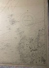
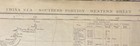
Admiralty Chart Map 2660A China Sea South Portion Western Sheet 1881 ( 1939 )
GBP 130.00GBP 130.00
May 19, 20:25May 19, 20:25
Picture 1 of 11


Gallery
Picture 1 of 11
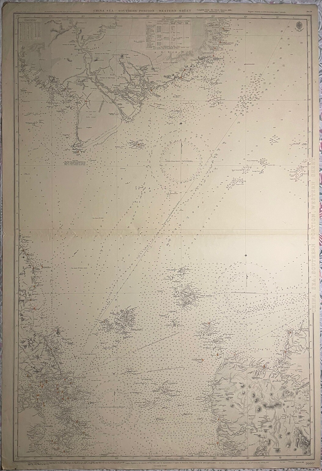


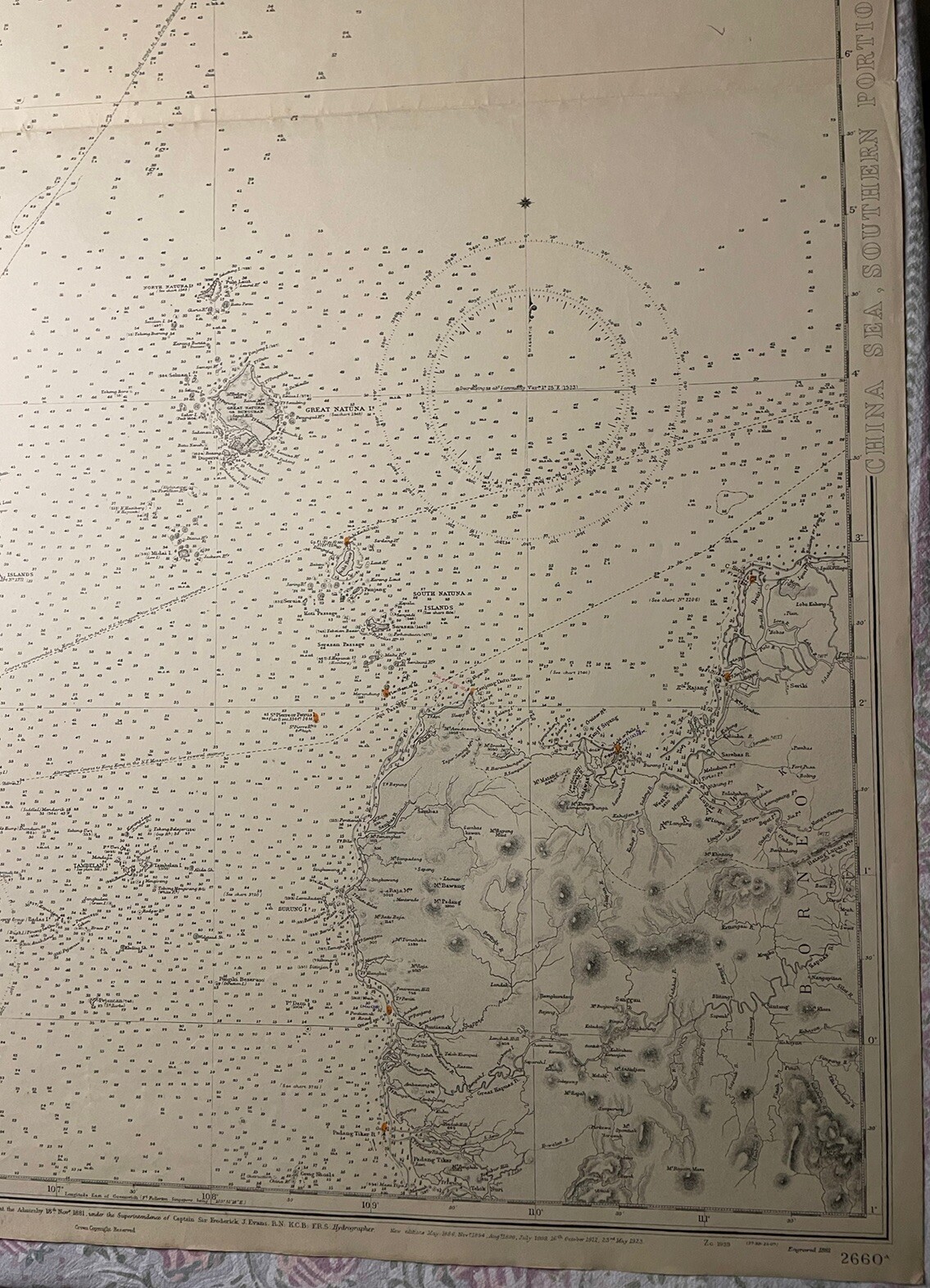
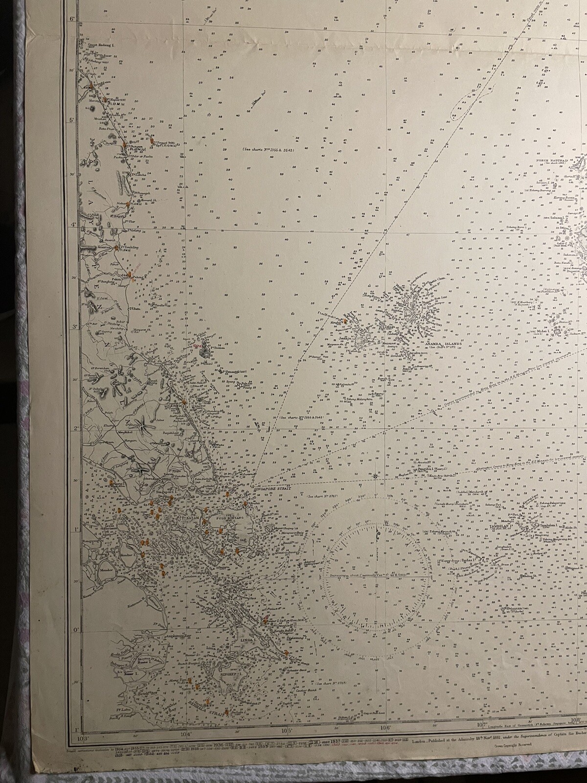


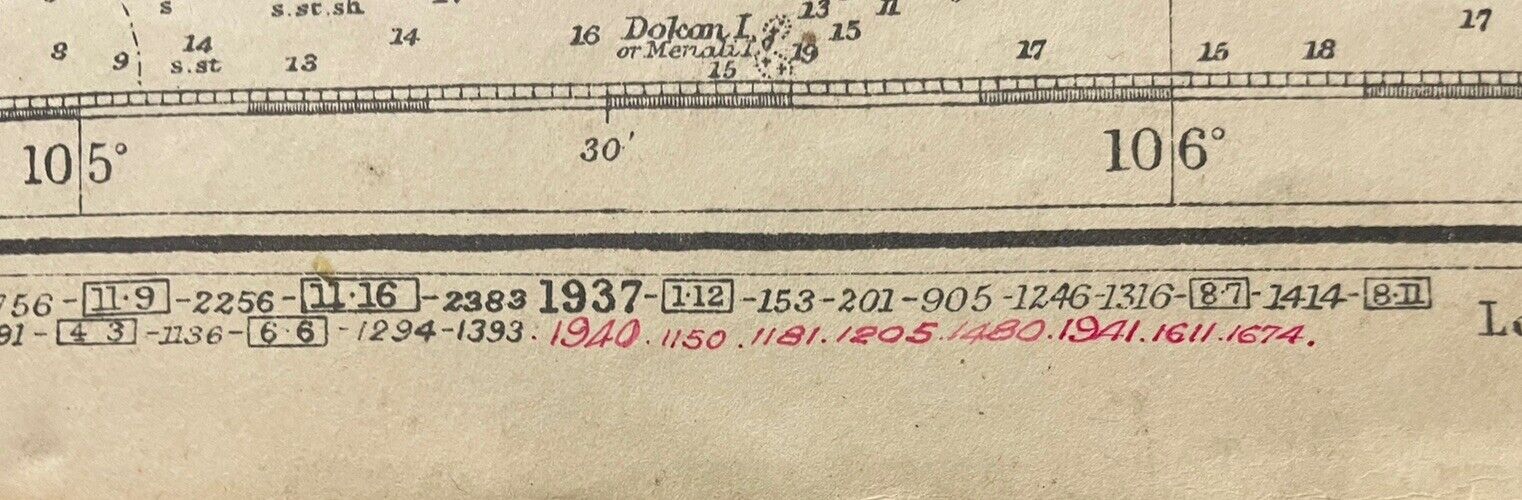


Admiralty Chart Map 2660A China Sea South Portion Western Sheet 1881 ( 1939 )
GBP 130.00
ApproximatelyPHP 9,808.97
or Best Offer
Condition:
Oops! Looks like we're having trouble connecting to our server.
Refresh your browser window to try again.
Shipping:
GBP 17.19 (approx PHP 1,297.05) International Priority Shipping to United States via eBay's Global Shipping Program.
Located in: Frome, United Kingdom
Import charges:
Free amount confirmed at checkout
Delivery:
Estimated between Mon, 16 Jun and Wed, 25 Jun to 94104
Includes international tracking
Returns:
No returns accepted.
Coverage:
Read item description or contact seller for details. See all detailsSee all details on coverage
(Not eligible for eBay purchase protection programmes)
Seller assumes all responsibility for this listing.
eBay item number:205302522503
Item specifics
- Date Range
- 1800-1899
- Type
- Nautical Map
- Format
- Sheet Map
- Year
- Engraved 1881
- Era
- 1800s
- Original/Reproduction
- Vintage Original
- Cartographer/Publisher
- Admiralty
- City
- Singapore
- Country/Region
- Brunei Darussalam, Cambodia, Indonesia, Singapore, Vietnam
Item description from the seller
Seller Feedback
No feedback yet