Picture 1 of 19


Gallery
Picture 1 of 19
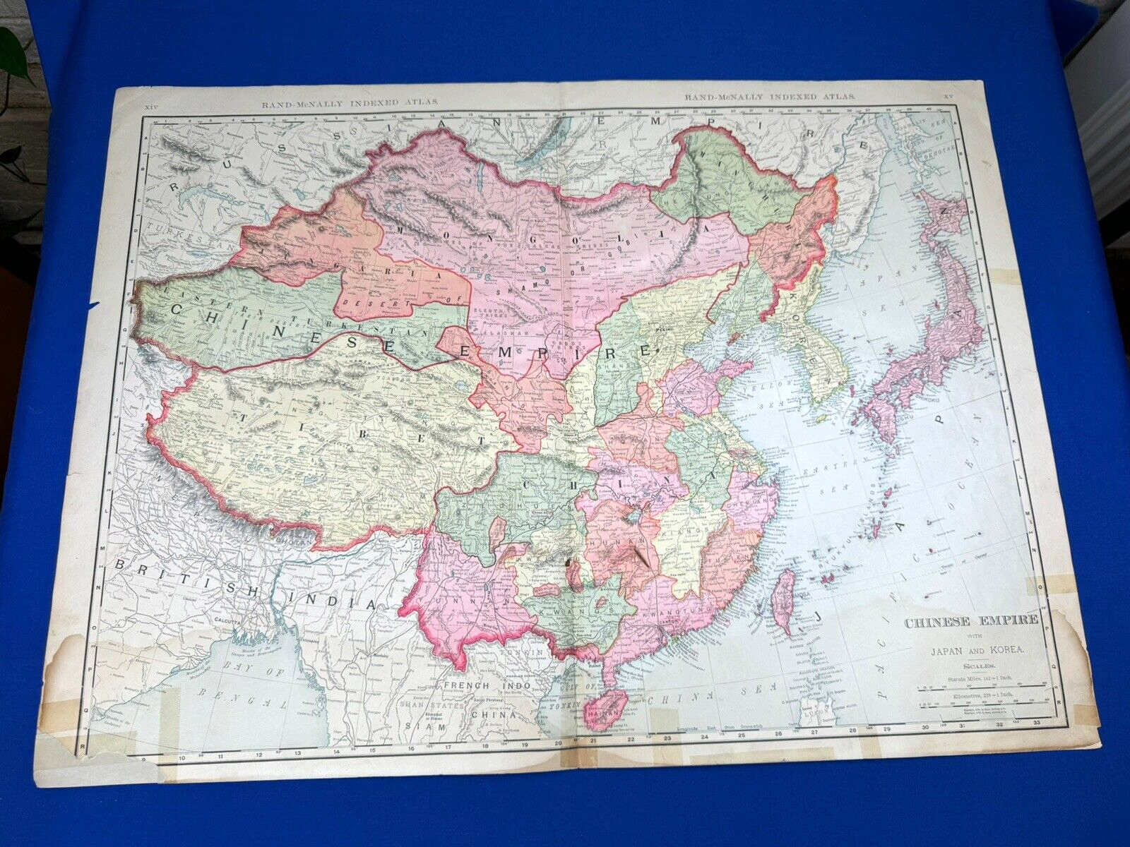
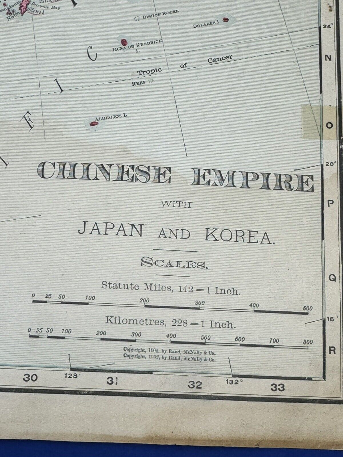


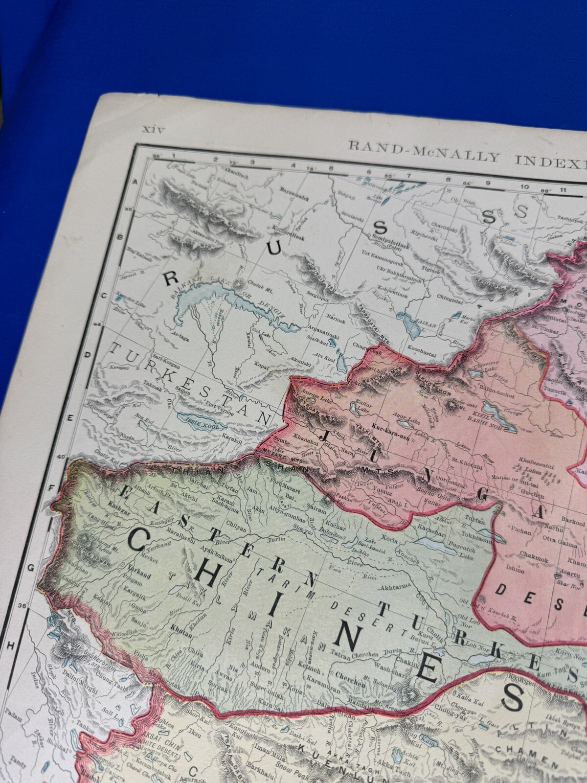


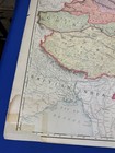
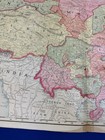
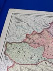
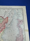
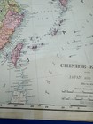
1906 Map CHINESE EMPIRE w/ Japan & Korea 28"x 20.5" Colored Provinces, Countries
US $33.15
ApproximatelyPHP 1,848.48
Was US $39.00 (15% off)
Condition:
“salvage from an atlas, several stains, no rips, no holes, photos will show any condition issues”
Sale ends in: 1d 11h
Oops! Looks like we're having trouble connecting to our server.
Refresh your browser window to try again.
Shipping:
US $6.15 (approx PHP 342.93) USPS Ground Advantage®.
Located in: Saco, Maine, United States
Delivery:
Estimated between Thu, 5 Jun and Thu, 12 Jun to 94104
Returns:
No returns accepted.
Coverage:
Read item description or contact seller for details. See all detailsSee all details on coverage
(Not eligible for eBay purchase protection programmes)
Seller assumes all responsibility for this listing.
eBay item number:205002907534
Item specifics
- Seller Notes
- “salvage from an atlas, several stains, no rips, no holes, photos will show any condition issues”
- Date Range
- 1900-1909
- Printing Technique
- Lithography
- Format
- Atlas Map
- Year
- 1906
- Cartographer/Publisher
- Rand McNally & Co.
- Original/Reproduction
- Antique Original
- Country/Region
- China, Japan, Korea
Item description from the seller

Seller feedback (5,634)
- l***l (1165)- Feedback left by buyer.Past monthVerified purchaseItem as Described / Prompt-Secure Shipment / A+ Dealer
- f***f (85)- Feedback left by buyer.Past monthVerified purchaseVery well packaged! As described and fast shipping.
- o***4 (127)- Feedback left by buyer.Past monthVerified purchaseThe item was exactly what was described. It was a part that I needed for lamp restoration and it was extremely well packaged. I got it with no damage. Shipping was fast and the item was reasonably priced.